Would you like to see a map of Budapest? In our digital age, the best map of Budapest is Google Maps. In other words, open the maps application on your phone or go to maps.google.com and find Budapest there. It is easy to navigate the maps, and you can also find directions by car, on foot, and with public transportation.
Below you can see a map of Budapest from Google maps. Feel free to look around and hopefully, you will find whatever you are looking for.
Budapest Map
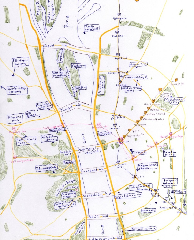
Budapest Creative Map
When we first created our Budapest Guide (in 2010), we had a person draw us this kind of funny Budapest map. It isn’t correct anymore, because there are now four metro lines in Budapest, and it lacks lots of details. But, if you want to have fun, then the map might give you a little feeling about what Budapest is like.

Budapest metro map
Would you like to see a Budapest metro map? You can find an updated metro map right here.


